
")
")
")
")
")
")
")
")
")
")
")
")
")
")
")
")
")
")
")
")
")
")
")
")
")
")
")
")
")
")
")
")
")
")
")
")
")
")
")
")
")
")
")
")
")
")
")
")
")
")
")
")
")
")
")
")
")
")
")
")
")
")
")
")
")
")
")
")
")
")
")
")
")
")
")
")
")
")
")
")
")
|
|
|||||||||||||
|
Week 5 : Steamboat S. - Del
Norte Start : Steamboat Springs, Colorado, USA Finish : Del Norte, Colorado, USA Dates : September 14th - 22nd, 2022 Riding days : 6 + 1 rest day 
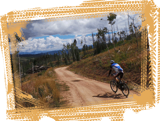
The trail out of Steamboat
Springs is easy when you follow the Yampa River and
later on the Morrison Creek with attractive property in
the woods. In between you have a mile of winding single
track along the shores of Stagecoach Reservoir. |
|
 |
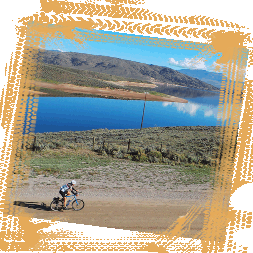
After the big descent, we must
gain some elevation. A good all weather gravel road
climbs slowly above the Colorado River and crosses the
Gore Mountain Range before you you arrive in
Kremmling.
The valleys in the area were home to Ute Indians before Rudolph Kremmling established a general store and silver miners and ranchers settled down in the area in the late 1800s. The little country town has grown slightly and has nowadays just over 1,500 inhabitants. |
|
You leave Kremmling along the
Colorado River in the direction of the
Arapaho National Forest
and the
Ute Pass
(9,165 feet). The panoramas over the peaks of the Gore
Range from the top of the Ute Pass are breathtaking.
A fast paved downhill brings you down to Highway 9 which you follow into the city of Silverthorne and along the Interstate 70 and up to the Dillon Reservoir. This immense reservoir is located on the west side of the Rockies, but provides water to Denver, which is located on the east side of the Rockies. A tunnel was completed in 1962 to bring water to the capital of Colorado across the Divide to support its growing population. Read more in the BROCHURE... |
 |
 |
 |
 |
|
 |
 |
 |